Mount Carnarvon
- 3046m (406m prominence)
- Canadian Rockies, Waputik Mountains
- Yoho National Park, BC
I was camping in the beautiful Yoho National Park, so naturally it was time to climb a big mountain. I poked around the map for a bit and settled on Mount Carvarnon as a good candidate. Close to the campsite, lots of elevation, and reportedly good YDS class 3 scrambling. The most accessible route up is from Emerald Lake, which is a popular tourist destination. I drove up in the morning, getting there just after 8 AM. The parking lot wasn’t full, but there were definitely people. The weather was cloudy, and it seemed like it might be cold in the alpine.
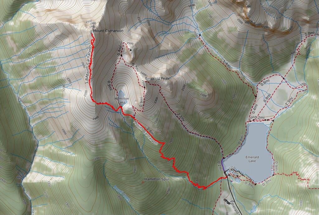 Mount Carnarvon from Emerald Lake (gpx).
The trail starts at the Emerald Lake parking lot at about 1300m, and gets down to business pretty quickly taking you up the mountain. The trail is good quality (albeit with some blowdowns) through thick forest, with few views of the surrounding landscape. It’s about 5km to Hamilton lake, and approximately 850m elevation gain.
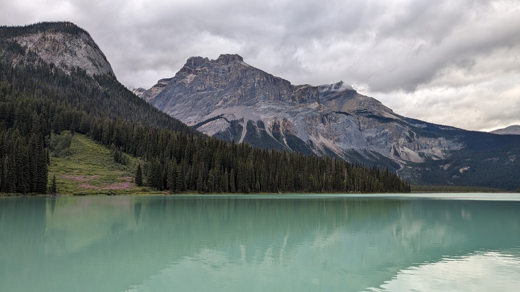 Emerald lake is beautiful, and at 8 AM not yet dotted with red canoes.
 Turn right here.
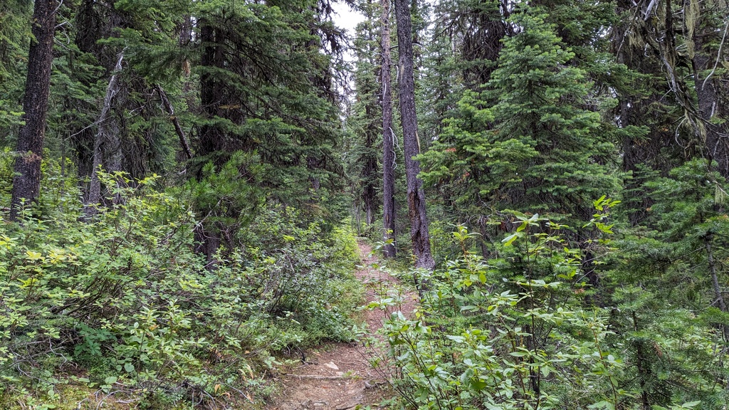 The forest is lush, and the trail well traveled.
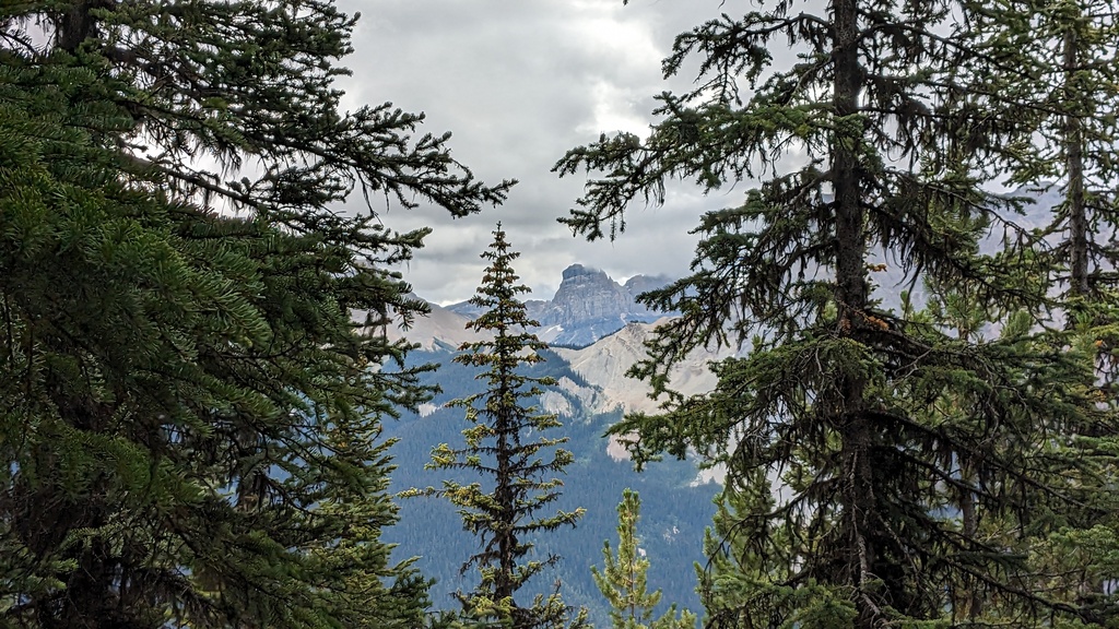 Occasionally other mountains were visible through the trees, like Cathedral Crags here.
I passed a few hikers on the way up, but overall the trail was rather empty. I had Hamilton Lake to myself, another beautiful alpine like surrounded by mountains, like so many others in the area.
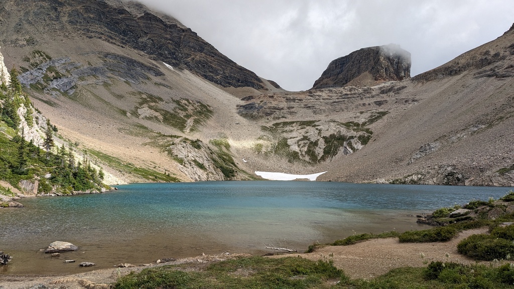 Finally made it out of the forest, and the lake was a nice reward for all the elevation gain. Top Hat Peak looms behind.
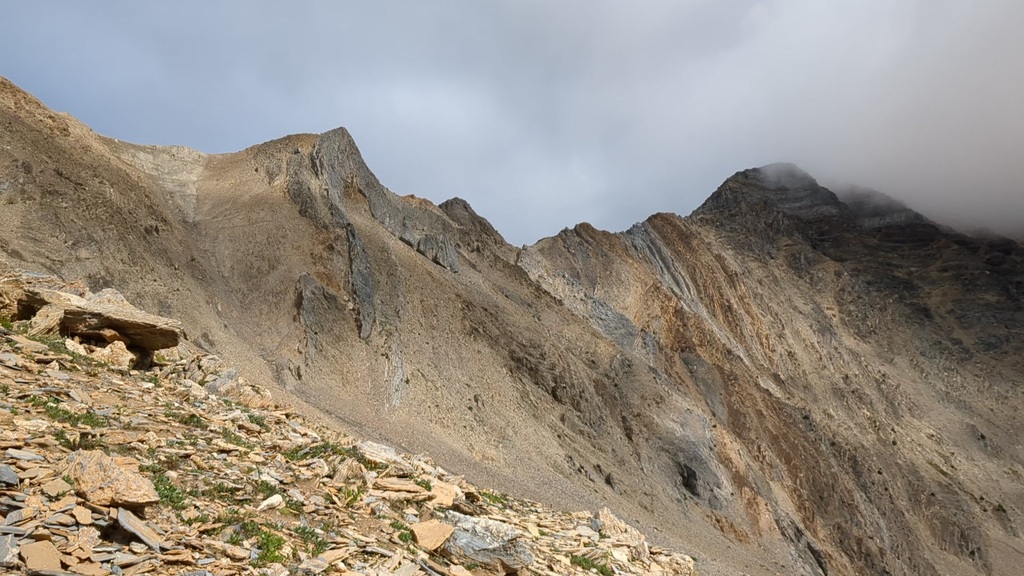
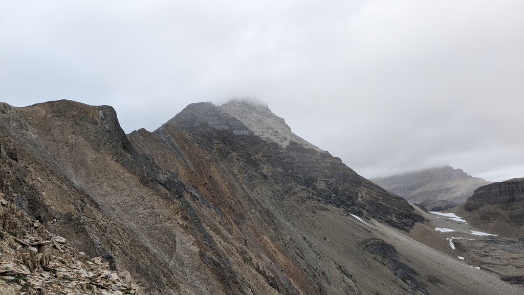
 No views of the summit of Mount Carnarvon, unfortunately. But the ridge was
clearly visible.
No views of the summit of Mount Carnarvon, unfortunately. But the ridge was
clearly visible.
 Emerald Peak rises to around 2500m on the east side of the lake.
After Hamilton Lake, which lies at 2150m, I still needed to gain a lot of elevation. Most of which would be gained by getting onto the south ridge. The path snakes up to the left through the vegetation, and then largely disappears. There are several rocky drainage gullies that can be followed up the slope. Ultimately it doesn’t really matter very much, the main direction is up.
The vegation slowly gave way to tan-colored shale scree. I followed the GPX track back to the right. The last few hundred meters before the gaining the ridge, things got steeper and more slidey. There wasn’t really much exposure here, but I was a bit worried about starting to slide and not really stopping. With liberal use of my hands and a bit of searching for solid rocks sticking out of the scree, it wasn’t too difficult to make it to the top.
 Looking back on Hamilton Lake, halfway up the slope to the ridge.
 View of the ridge I’d be doing.
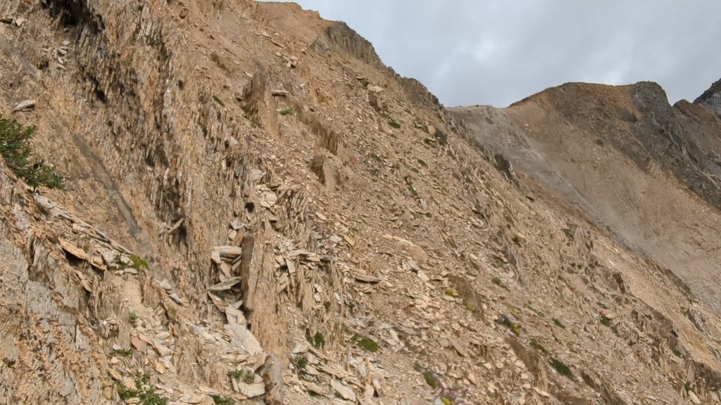 It was just steep enough past this part for the scree to become a problem.
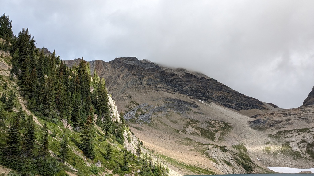
Once on the Hamilton Spur, the going got a lot easier. It also got a lot windier and colder, so I needed to stop several times to progressively put on more layers. I hadn’t been out scrambling in a long time. The views of the ridge ascending into the fog were intimidating. Everything seems more scary when it’s cold and windy. But things are almost always much tamer up close, so I kept going.
The nice thing about this scramble is that it is long, but starts off very gentle and gets progressively more interesting higher up. The rock quality also seems to improve the higher up you get. I found myself enjoying it a lot, and with more layers on the cold and wind weren’t as noticeable.
 A gentle introduction to a bit of exposure and ridge walking.
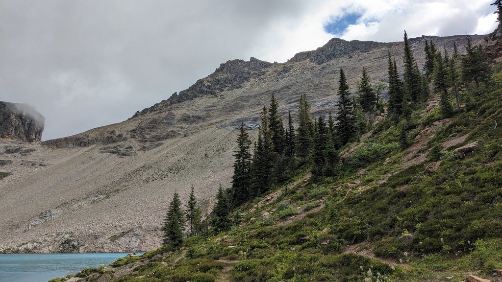
 Looking back on the ridge, with Lake Hamilton below.
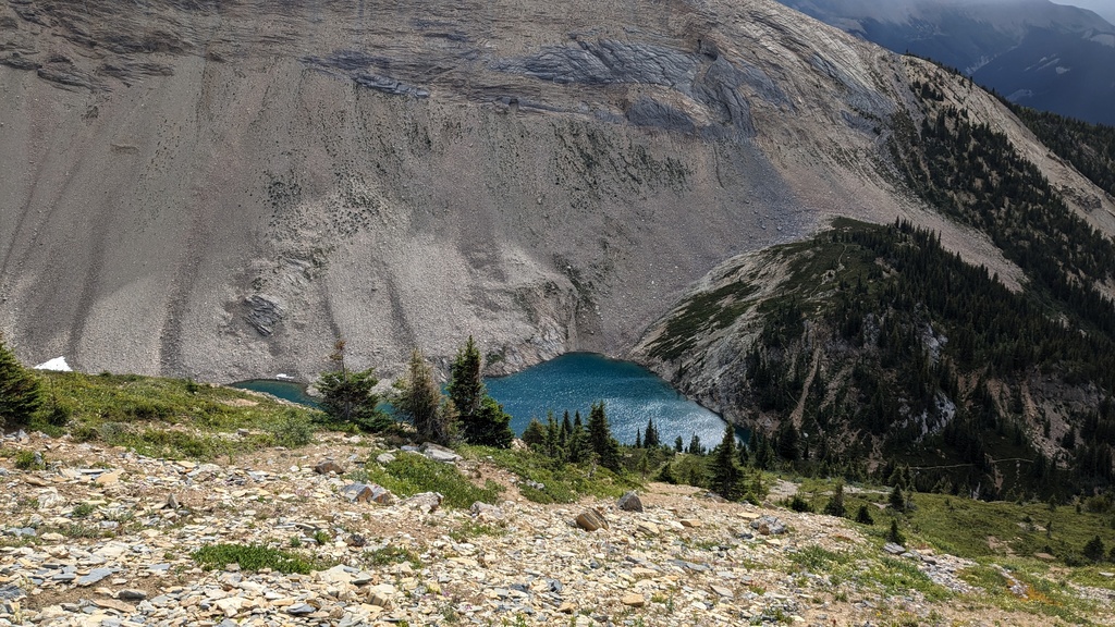
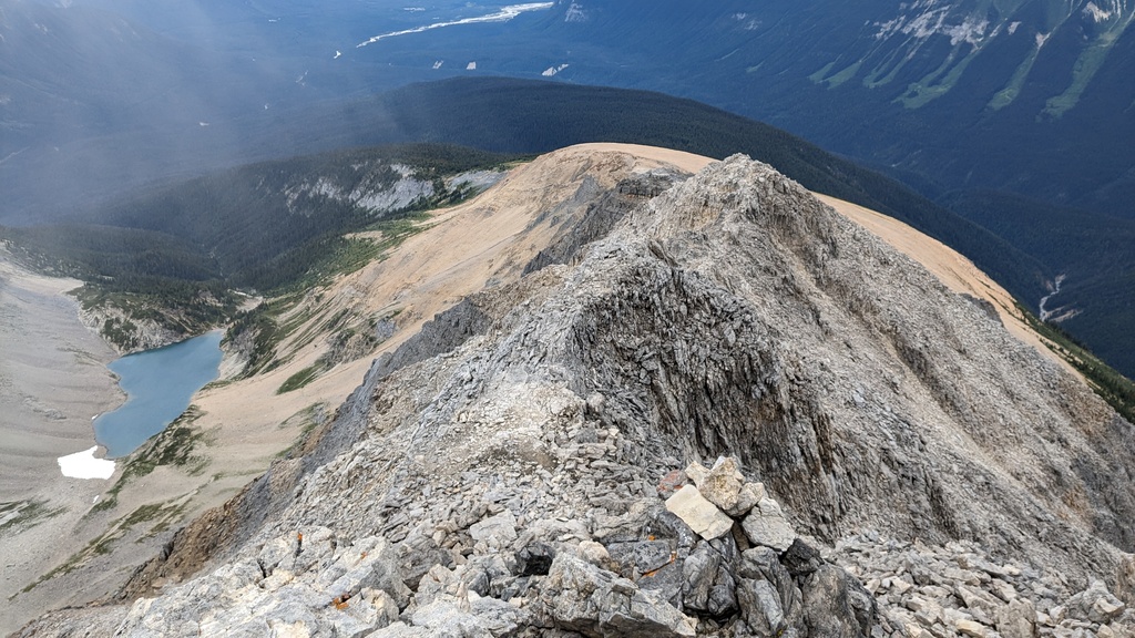
 A better view of Lake Hamilton from high up, with Emerald Peak on the other
side, as I entered the fog.
A better view of Lake Hamilton from high up, with Emerald Peak on the other
side, as I entered the fog.
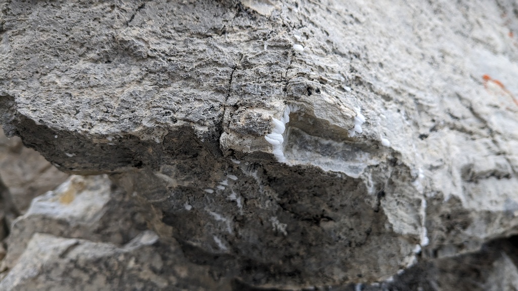 Some rime forming on the rocks.
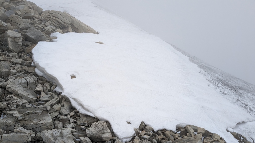
The scramble to the summit was decently easy to follow, with small cairns in most places. I lost the trail a few times, but it’s also fun to choose your own route, and there are many ways up most of the south ridge. There was some fresh snow in between the rocks, but nothing serious.
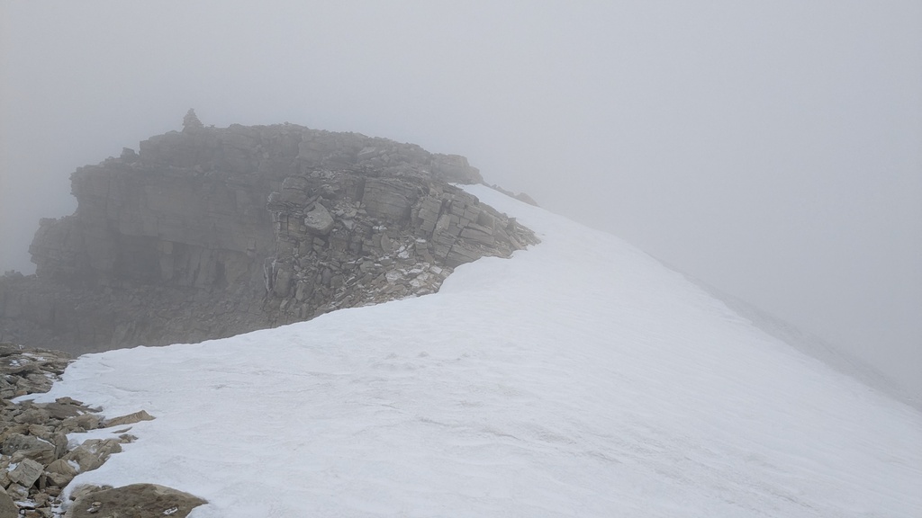
Once into the fog, it wasn’t too long before I found old snow and ice, and eventually saw the summit cairn. There was one section where I thought I would have to traverse across the ice, with a drop on one side and a slope disappearing into fog on the other, so I got out my ice axe, only to find that there was a narrow band of bare rock on the left. Ultimately I didn’t need it, but it’s always nice to have for situations like this.
 Ice encountered on the route.
 The summit is in view.
 The north ridge leading away from the summit. Presumably if I had good weather,
I would have been able to see Mount Marpole and the other peaks close by.
The north ridge leading away from the summit. Presumably if I had good weather,
I would have been able to see Mount Marpole and the other peaks close by.
It had taken me just over 3 hours to get to the summit. I didn’t stick around too long, since I had no views. I had hoped the clouds would part occasionally, but no such luck. So I started down, taking much of the same route, although diverging at parts accidentally, following cairns where I could. I don’t think the cairns follow a single route.
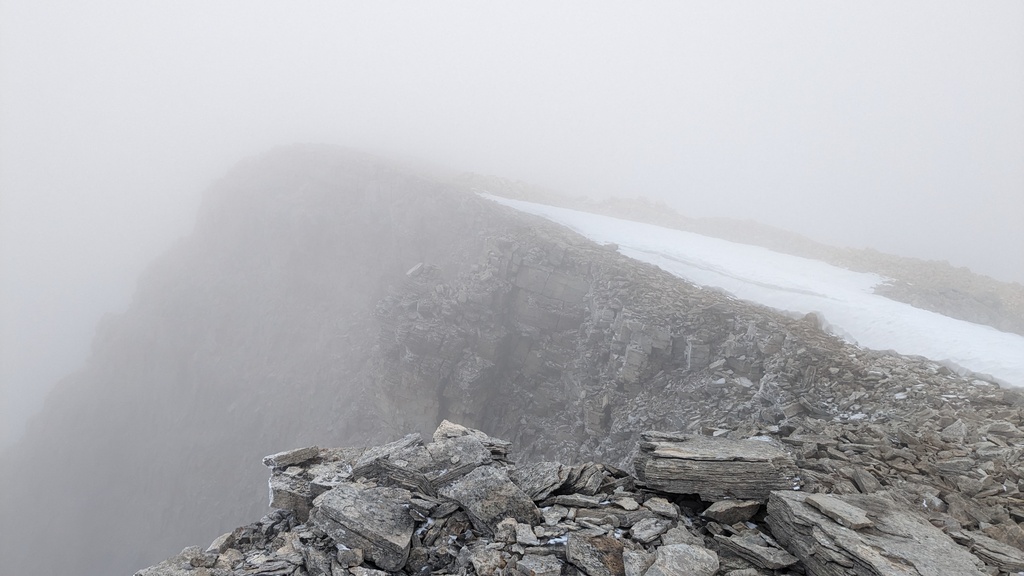
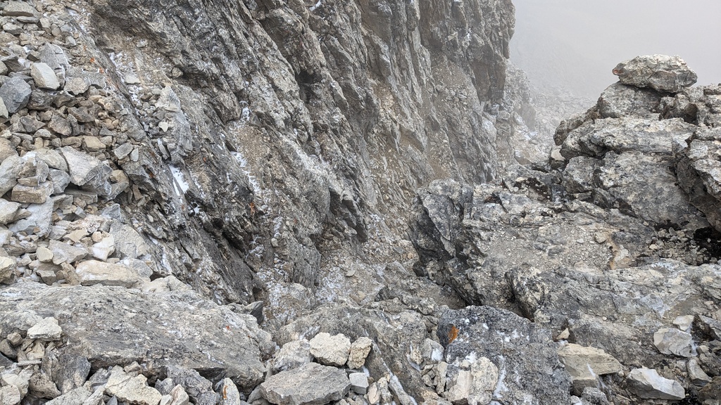
 The cliffs just under the summit, on the western flank.
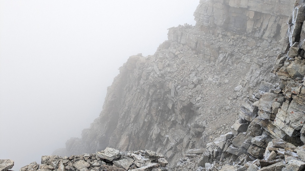
 I ended up taking a slightly different route down, and needed to downclimb here
to get back to the route.
I ended up taking a slightly different route down, and needed to downclimb here
to get back to the route.
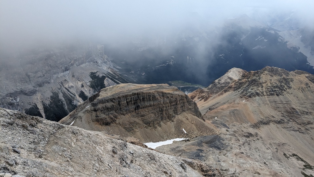 Emerald Lake peeking out from behind Top Hat Peak.
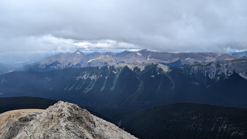 The Van Horne range to the south west.
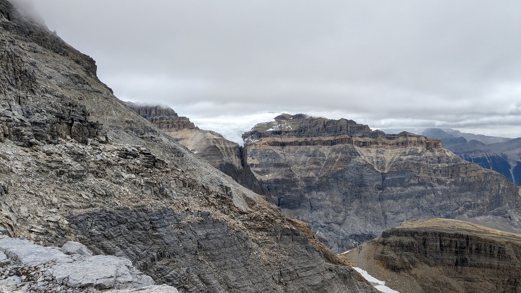 Michael Peak and one of the glaciers of the President range.
The way down was more enjoyable scrambling, and then a long jog back over scree and forest trail. It took me about an hour and half to get down. At the bottom, the parking lot was completely slammed with people. It turns out Emerald Lake is very popular, and by this time it was the middle of the afternoon. The lake was covered with red canoes, and there were people milling about everywhere. Best to come early!
 One last attempt to get a good shot of the summit, and probably the best I got.
The summit was still enveloped in fog when we drove by a few days later.
One last attempt to get a good shot of the summit, and probably the best I got.
The summit was still enveloped in fog when we drove by a few days later.